Hiking in the Silvretta and Verwall mountains in the Montafon
Verwall or Silvretta?
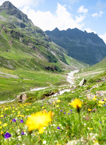
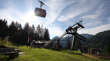
From Partenen, you can take the Tafamuntbahn cable car into the Verwall mountains. You can reach the Silvretta via the Silvretta-Hochalpenstraße. Both areas offer varied hiking tours and almost untouched nature.

Silvretta
High Mountains in Montafon
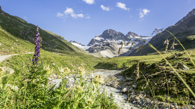
With the highest mountain in Vorarlberg, the Piz Buin, the Silvretta is also the most famous mountain range in the region. You can find an overview of the numerous hiking routes around the Silvretta-Bielerhöhe here. We have described two popular hiking tours for you in more detail below.
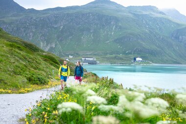
Silvrettasee loop hike
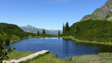
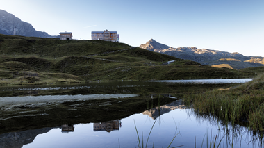
Idyllic hike around the Silvrettasee with magnificent views of the surrounding mountains and glaciers.
Please note: The lakeside path along the western shore of the Silvrettasee is closed due to the risk of rockfall – a full circuit is not possible. The closure begins immediately after the Kunstraum2032silvretta.
Distance: 6.3 km
Walking time: approx. 2 hours
Difficulty: easy
Refreshment stops: Restaurant Silvrettasee, Silvretta-Haus***, Berggasthof Piz Buin, Madlenerhaus
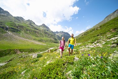
Hike to the Wiesbadener Hütte
The hike leads past the picturesque Silvrettasee lake into the Ochsental valley. The Wiesbadener Hütte is located there and the highest mountain in Vorarlberg, the "Piz Buin", is directly in view. The same path leads back to the starting point.
Distance: 14.2 km
Walking time: approx. 5.5 hours
Difficulty: medium
Refreshment stops: Restaurant Silvrettasee, Silvretta-Haus***, Berggasthof Piz Buin, Madlenerhaus, Wiesbadener Hütte
Mountain experiences hiking
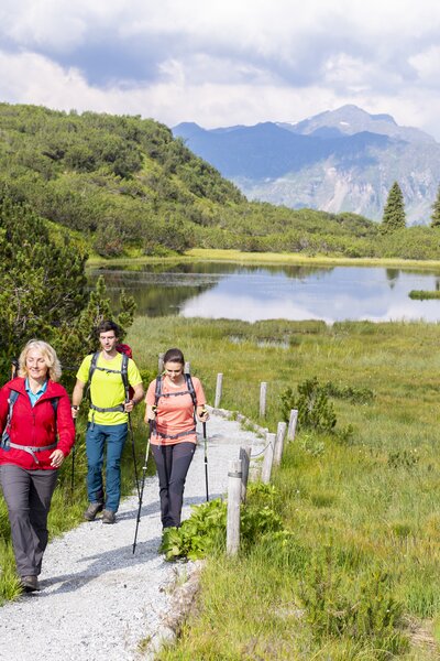
Verwall
Pleasure hiking in the Montafon
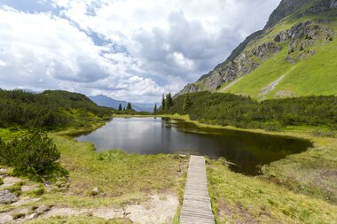
Hiking to Wiegensee
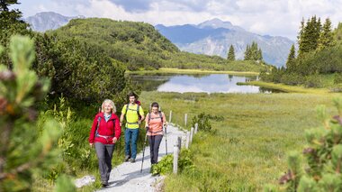
From the mountain station of the Tafamuntbahn cable car, the hike leads through beautiful high moorland landscapes to Lake Wiegensee. One of the last high moorland lakes in the Alps. In the middle of the peat moss-rich mountain pine moor forests and hillside fens, Lake Wiegensee forms the heart of the area.
Distance: 2.7 km
Walking time to Wiegensee: approx. 1.5 hours
Difficulty: medium
Refreshment stops: Alpstöbli Tafamunt at the mountain station of the Tafamunt cable car
Wiegensee European nature reserve in Montafon
The Wiegensee European nature reserve is located at 1,900 m above sea level high above the Montafon municipality of Gaschurn in the village of Partenen. It lies within the bird sanctuary"Verwall"but was declared a separate European nature reserve ("Wiegensee") due to its importance.
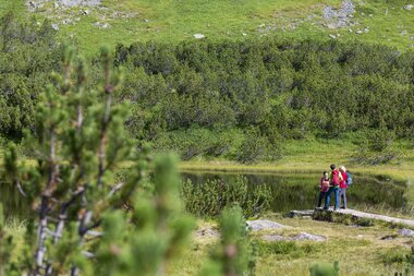
The moorland landscape with the extensive mountain pine moor forests lies at the foot of the Versalspitze in a slope depression, the so-called "cradle", which was created by the glaciers. After the glaciers melted, high alpine lakes formed in these depressions, which are increasingly being overgrown by marginal fescue grasslands.
As a result, two of these former lakes have practically disappeared and have been replaced by important moorland habitats. Find out more here.
Hiking Overview Silvretta-Bielerhöhe
The Silvretta-Bielerhöhe is the starting and finishing point of numerous hiking tours.
You can find some popular options in our detailed overview of hiking tours. Have fun discovering your hike in the mountains.
For you
Useful information at a glance

