Montafoner huts route ​|​ Silvretta​-​Bielerhöhe to Wiesbadener Hütte

Moderate
Alpenmosaik - Silvretta
Einkehrmöglichkeit
Mehrtagestour
Hiking 
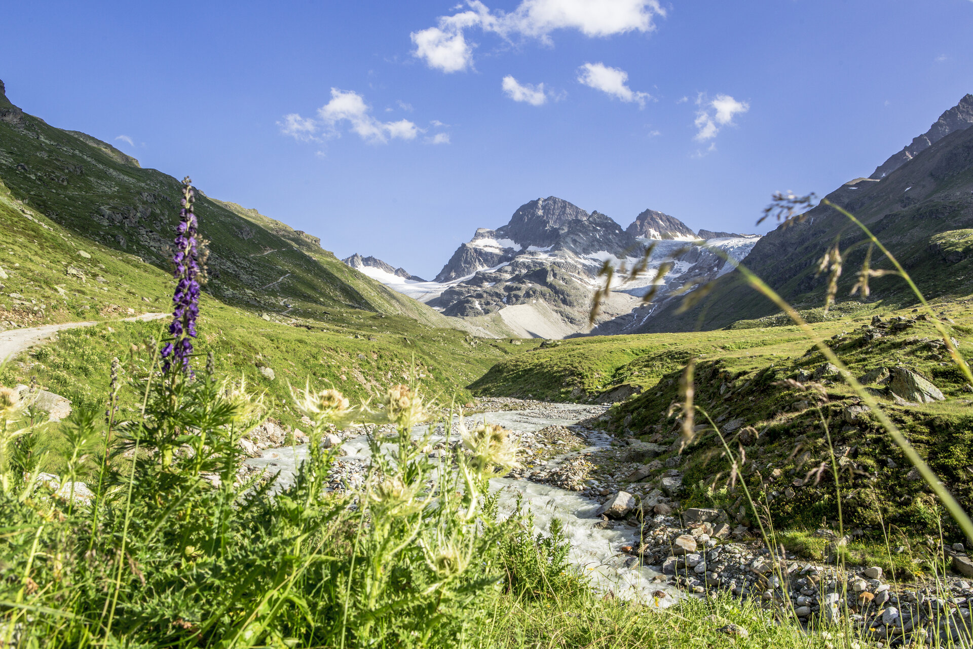
· Alpine mosaic – Silvretta · Alpine mosaic · Refreshment stops · Multi-day tour
03:35 h duration
7,71 km Länge
2658 m Höchster Punkt
2025 m Tiefster Punkt
704 hm Aufstieg
291 hm Abstieg
Kondition
Schwierigkeit
Erlebnis
Landschaft

Tourbeschreibung

In the high alpine terrain of the Silvretta, you move in this section of the Montafoner huts route at the foot of the nearly 3,000 m high mountain called Hohes Rad.

Description

You move in a semicircle around the mighty Hohes Rad and make nearly a full circle. This route starts for you at the Silvrettasee. After a short section along the Silvrettasee, you turn into the Bieltal. The Bieltal offers a real highlight in terms of landscape. Constantly with the Bieltal glacier in front of you, surrounded by almost 3,000 meter high mountains, you head towards the next highlight, the Radsattel. Past the Radsee, you finally reach the Radsattel. The Radsattel offers a wonderful view of the Ochsental Glacier and the Piz Buin, Vorarlberg's highest mountain at 3,312 m. The entire Silvretta massif lies impressively before you. Do not start too early to reach the Wiesbadener Hütte but enjoy this fantastic view. You reach the Wiesbadener Hütte after a descent from the Radsattel towards the Ochsental Glacier.

Approach

Take the A14 to the Bludenz/Montafon exit and continue on the Montafonerstraße L188 to Partenen to the toll station for the Silvretta High Alpine Road. Via the Silvretta High Alpine Road you then reach the Vermuntsee and continue to the Silvrettasee. (Toll required)

Public transport

Just leave your car standing

The regional buses operate throughout Montafon. The main lines run every half hour from Schruns station.

Bus stop at the start/finish of the route: Bielerhöhe Silvrettasee / Line 85

Timetable: www.vmobil.at

Travel by train to Montafon

From Bludenz station, the Montafonerbahn runs hourly (partly every half hour). There are also direct connections from Lindau (D) and from Bregenz.

Timetable: www.oebb.at

Parking

Parking is available at the Silvrettasee

Parking spaces where you can leave your car for several days (up to a week) are available in Schruns in the underground garage at the Löwen Hotel. For parking longer than one week, please contact the Löwen Hotel directly: T +43 5556 7141, reservierung@loewen-hotel.com)

Directions

You start your stage at the Berggasthof Piz Buin at the Silvrettasee and follow the dam crest and the gravel path along the shore for about one kilometer. Then you turn left into the Bieltal. Follow the signs towards Radsattel/Bieltal. Initially, the path leads you comfortably on a wide gravel road. This later changes into a trail, which ultimately leads you up to the Radsattel. Once at Radsattel you have completed the ascent. From here, a well-marked path leads down the other side of the Radsattel to the Wiesbadener Hütte.

Safety instructions

EMERGENCY CALL: 144

European emergency number 112 (works with any mobile phone/network)

www.vorarlberg.travel/sicherheitstipps

Equipment

Activity map

Weather-appropriate clothing

Sturdy footwear with good tread

Enough to drink, a snack as needed

Tips

Take a snack with you and settle down at the Radsattel. Enjoy the unique view of the Ochsental Glacier as well as the Piz Buin and the highest mountains of Vorarlberg.

Destination

Wiesbadener Hütte

Starting Point

Silvretta-Bielerhöhe

Eigenschaften
Routentyp Hiking, Alpine mosaic – Silvretta, Alpine mosaic, Refreshment stops, Multi-day tour
Schwierigkeit Moderate
Höhenprofil
Beste Jahreszeit
Jan
Feb
Mär
Apr
Mai
Jun
Jul
Aug
Sep
Okt
Nov
Dez