Large local circuit Partenen

Easy
Rundtour
Winter hiking · Round trip
01:00 h duration
3,51 km Length in km
1120 m Highest point
1038 m Lowest point
72 m gain Ascent
83 m gain Descent
Stamina
Skill
Difficulty
Adventure
Scenery

Tour description

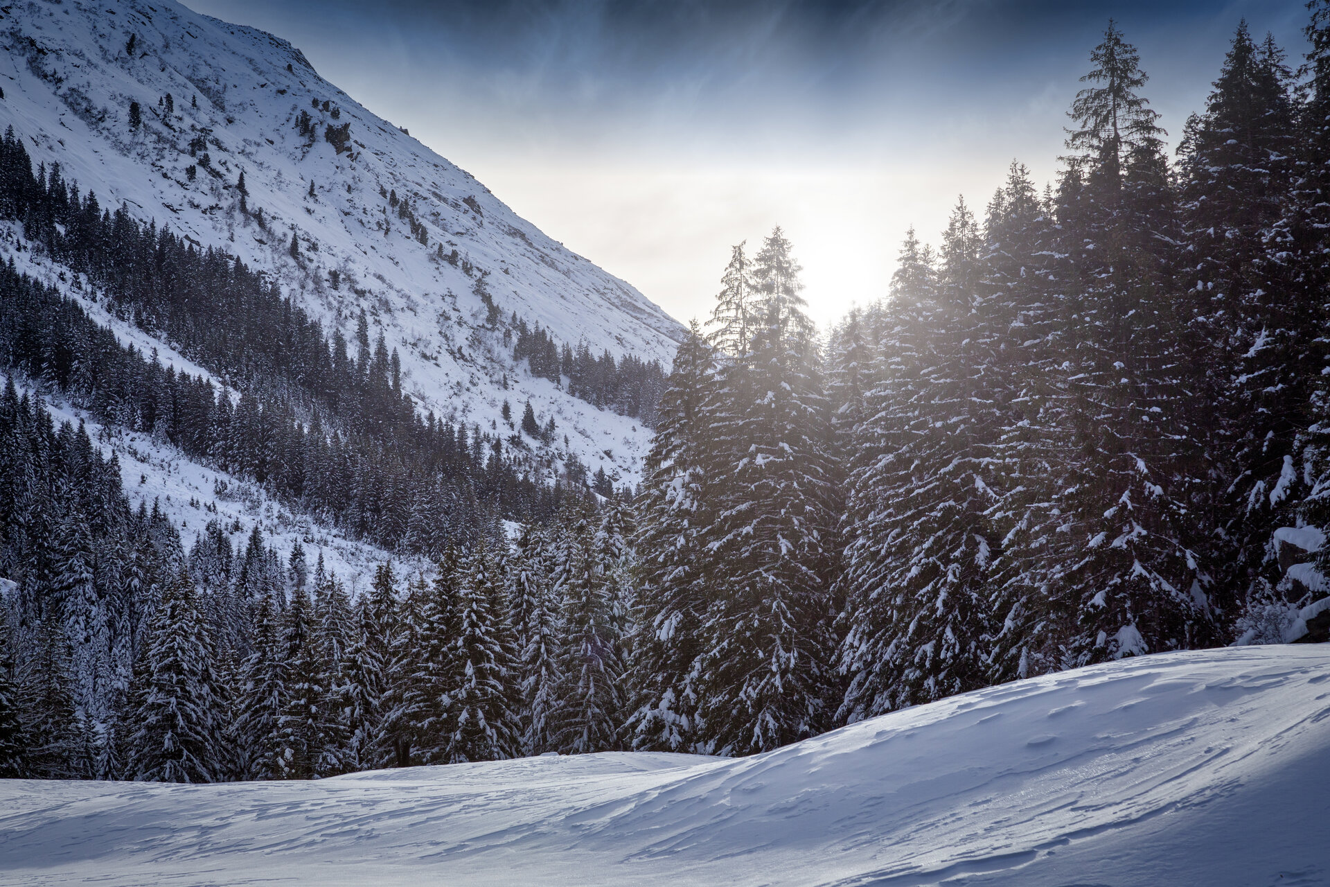
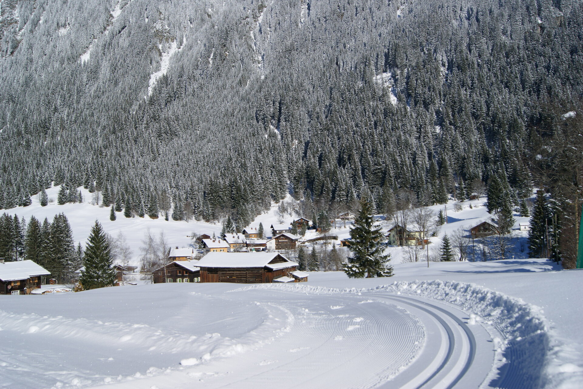
On a well-prepared winter hiking trail, you explore the small village and learn some interesting facts about the history of the region!

The Piz Buin, the Silvretta High Alpine Road, spectacular glacier worlds. Welcome to the "Blue Silvretta" of Gaschurn and Partenen. The two places are connected not only by the impressive mountain range but also by the use of hydropower and the production of renewable energy. The three reservoirs Silvretta, Kops, and Vermunt testify to the richness of water in the high mountains.

Activity by day, lively life by night: The village center in Gaschurn impresses not only due to traditional Montafon houses but also through well-known local establishments nearby – popular with everyone in a party mood.

Two worlds that could hardly be more different, closely intertwined in Gaschurn and Partenen. The height and the valley. The activity by day, the lively life by night. The ski slope and the deckchair. The luxurious hotel bed, the simply cozy mountain hut. Energy and relaxation. In the south of Montafon you can decide anew every day.

Gaschurn-Partenen is a certified hiking village, you can find out what that means on our page: Austria’s hiking villages.

Approach

Drive on the A14 to the Bludenz/Montafon exit and continue on Montafonerstraße L188 to Gaschurn.

Public transport

Just leave your car standing

The regional buses operate throughout Montafon. The main lines run every half hour from Schruns train station.

Bus stop at the start/finish of the route: Partenen Bergbahnen / line 650

Timetable: www.vmobil.at

Travel by train to Montafon

From Bludenz train station, the Montafonerbahn runs hourly (partly every half hour). There are also direct connections from Lindau (D) and Bregenz.

Timetable: www.oebb.at

Parking

Vermuntbahn valley station

Directions

You start in the center of Partenen and walk along Alte Schulstraße to the main street. You follow this to the fire station, then cross to the other side of the street and follow the road into the valley. Via Rütler, you hike along the Ill to Gufelste and further to the toll station. There you cross the street and hike back via Bellamaisäß, Maler Chapel, and Verbellabachstraße. Along the village street, you reach your starting point again.

Equipment

Day hiking backpack (approx. 20 liters) with rain cover, comfortable and waterproof winter boots or sturdy hiking boots, possibly crampons and gaiters, warm and weatherproof clothing in layers, hat/headband, scarf, gloves, sun and rain protection, provisions and drinking water, thermos with hot drink, first aid kit, pocket knife, mobile phone, possibly headlamp, maps, possibly telescopic poles

Destination

Partenen, center

Starting Point

Partenen, center

Sicherheitstipps für Winterwandern in Vorarlberg

NOTRUF:

140 - Alpine Notfälle österreichweit 

144 - Alpine Notfälle Vorarlberg 

112 - Euro-Notruf (funktioniert mit jedem Handy/Netz) 

Wetterbedingt kann es vorkommen, dass die Wanderwege nicht täglich frisch gespurt werden. Je nach Schnee- und Wetterverhältnissen kann es zu Änderungen kommen.

Properties
Route type Winter hiking, Round trip
Difficulty Easy
Elevation profile
Best months
Jan
Feb
Mar
Apr
May
Jun
Jul
Aug
Sep
Oct
Nov
Dec