No​.​ 1: Cross​-​country ski trail Bielerhöhe​-​Galtür

Moderate
closed
Cross-country skiing · Partenen
02:14 h duration
7,89 km Length in km
2036 m Highest point
1807 m Lowest point
237 m gain Ascent
237 m gain Descent
Stamina
Skill
Difficulty
Adventure
Scenery

Tour description

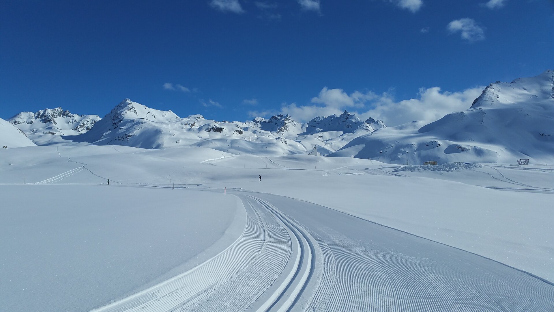
From the Silvretta-Bielerhöhe, the Vermunt Route 2 takes you down along Lake Silvretta toward Wirl/Galtür and back along the same route. This challenging high-altitude cross-country trail winds through high-alpine terrain and offers breathtaking views of the Silvretta’s mountains and glaciers.

Starting Point - Directions - End Point

Starting Point
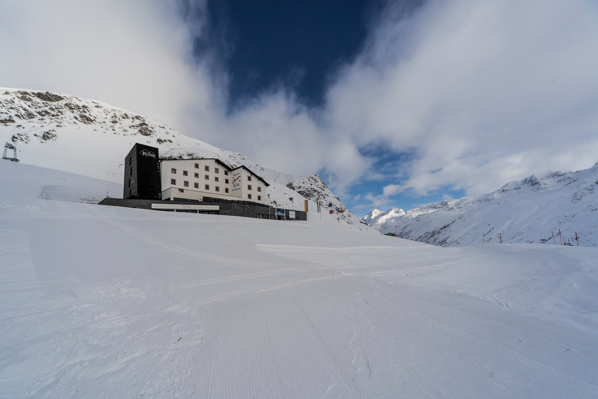
Silvretta-Bielerhöhe, Piz Buin Mountain Inn

Directions
The trailhead is located at the Piz Buin Mountain Inn on the Silvretta-Bielerhöhe. From there, the signposted Vermunt Route 2 takes you along Lake Silvretta and then down the Tyrolean side toward Wirl/Galtür.

On the way to the Paznaun Valley, a long and steep descent along the Silvretta High Alpine Road awaits you. At Baggerloch in Wirl/Galtür, turn around and ski back along the same route.

On the way back, the cross-country trail winds steeply upward to the dam and continues back to the Piz Buin mountain inn on the Silvretta-Bielerhöhe.

End Point
Silvretta-Bielerhöhe, Piz Buin Mountain Inn

Please note: Depending on snow, weather, and avalanche conditions, the trail route and starting point may change on short notice. If you continue on into the Paznaun Valley, you’ll need a valid cross-country ski pass there.

Getting to the starting point

The recommended starting point is the Piz Buin mountain inn on the Silvretta-Bielerhöhe.

By public transportation:
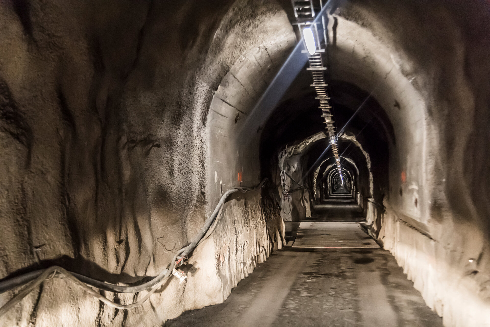
The Montafon regional bus and the Montafonerbahn train offer a convenient and flexible way to get around the valley. Trains and buses run regularly between the towns, every half hour or every hour, depending on the route. You can find suitable connections in the cleVVVer mobil schedule app. The bus stop for continuing on to the Silvretta-Bielerhöhe is Partenen Bergbahnen. From the bus stop, it’s about a five-minute walk to the Vermuntbahn valley station. You can then take the Vermuntbahn and the tunnel bus to reach the Silvretta-Bielerhöhe and Lake Silvretta.

By car:
Take the A14 to the Bludenz/Montafon exit. Then follow the Montafonerstraße L188 to Partenen, where the Vermuntbahn’s valley station is located. Free parking is available at the Vermuntbahn valley station. From there, take the Vermuntbahn and the tunnel bus to the Silvretta-Bielerhöhe.

Important Information

You’ll find restrooms and a place to eat right at the Piz Buin Mountain Inn on the Silvretta-Bielerhöhe. The mountain inn is located directly at the starting point of the cross-country ski trail.

You can use the cross-country ski trails in the Montafon for free. Please note, however, that there is a fee for the cross-country ski trails and connecting routes leading from Silvretta-Bielerhöhe into the Paznaun Valley. For the Vermunt Route 2, you’ll therefore need a valid trail ticket for the Paznaun Valley. Tickets are available online via the Paznaun Tourism Association’s website. There’s also an information board at the trailhead with a QR code that takes you directly to the ticket page.

The Vermunt Route 2 is very challenging. Along the route, you’ll tackle an elevation gain of nearly 400 meters. The long and steep descent toward Wirl/Galtür, as well as the steep climb on the way back, require cross-country skiing experience, confident downhill technique, and good overall fitness.

If you don’t have your own equipment, you’ll find various options for renting winter sports gear in the Montafon.

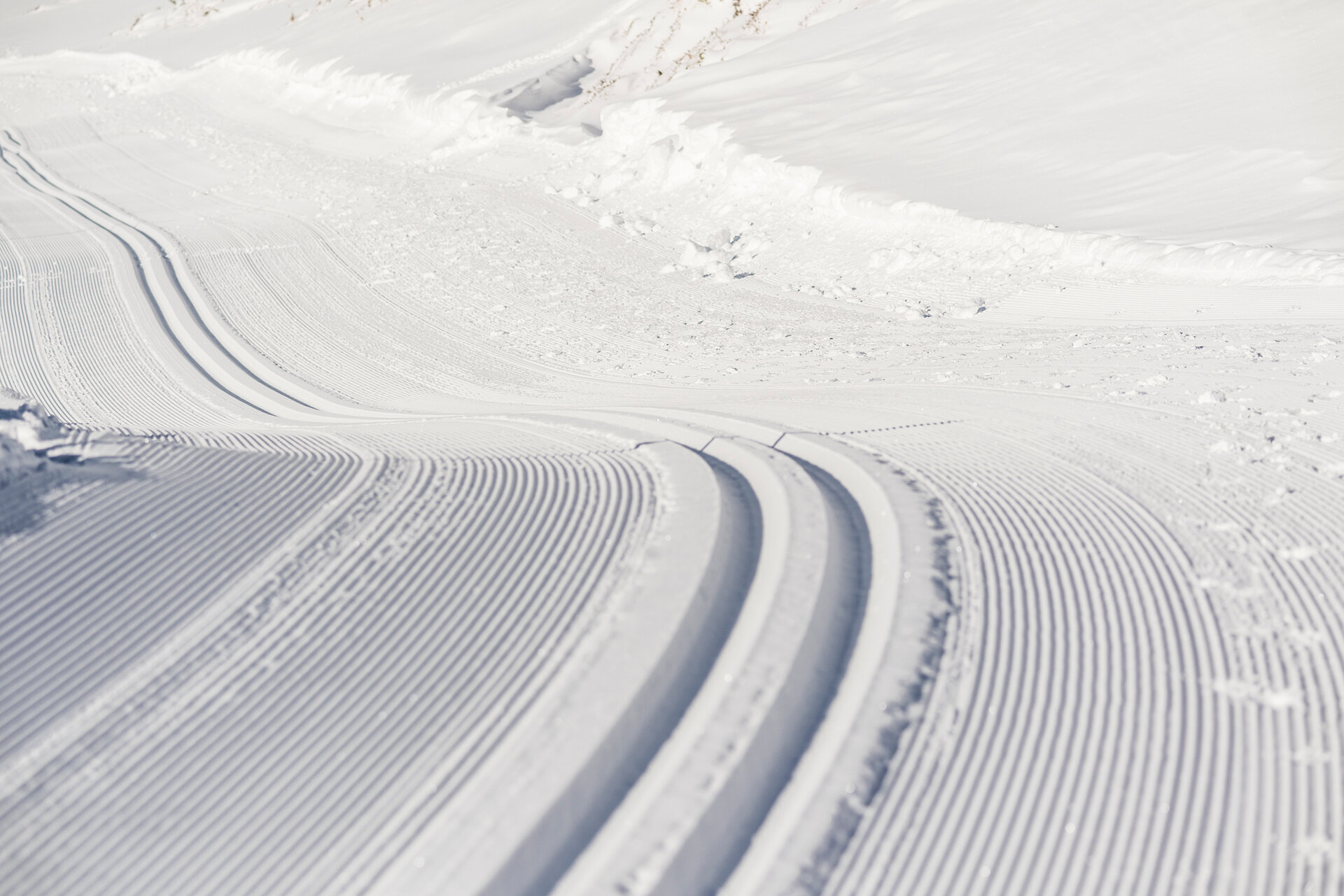
The cross-country trails are groomed by the responsible municipalities or mountain railways, depending on weather and snow conditions. A sufficient and stable snow cover is required for machine grooming. The current trail status is continuously updated by the responsible staff on site.

Tips

Heading out of the valley, the Vermunt Route 2 connects to the Vermunt Route 1 as well as to other connecting trails in the Paznaun Valley. Heading into the valley, the Silvretta high-altitude trails connect. This allows you to explore additional sections of the trail network from the Silvretta-Bielerhöhe.

Make sure to save enough energy for the return trip. The long climb from Wirl/Galtür back up to the Silvretta-Bielerhöhe once again demands stamina and technique.

Sicherheitstipps für Langlaufen in Vorarlberg

NOTRUF:

140 - Alpine Notfälle österreichweit 

144 - Alpine Notfälle Vorarlberg 

112 - Euro-Notruf (funktioniert mit jedem Handy/Netz) 

Wetterbedingt kann es vorkommen, dass die Loipen nicht täglich frisch gespurt werden. Je nach Schnee- und Wetterverhältnissen kann es zu Änderungen kommen.

Properties
Route type Cross-country skiing
Difficulty Moderate
Start Berggasthof Piz Buin
Finish Berggasthof Piz Buin
Elevation profile
Best months
Jan
Feb
Mar
Apr
May
Jun
Jul
Aug
Sep
Oct
Nov
Dec